
Brisavia for iPhone
Discover. Explore. Live.
The place you saw in a reel becomes a trail you can walk, even without signal.
Dawn above a sea of cloud. Scroll to descend to the trail.
Descend01Discover
From reel to trail.
You saw a waterfall in a reel, saved a link, took a screenshot. Share it with Brisavia: the Assistant reads the name of the place and finds the trail among thousands of routes in the catalogue.
Follow the trail02Water and places
Water and places along the way.
Springs, fountains and taps within 1 km of the trail, with the kilometre and whether the water is drinkable. Viewpoints, waterfalls and mills in kilometre order, saved for use without signal.
Continue03Walk without signal
Walk without signal.
Download the map before you leave and the app checks it. GPS needs no signal, and a voice tells you about the water ahead and when you leave the trail.
Continue04Walk with me
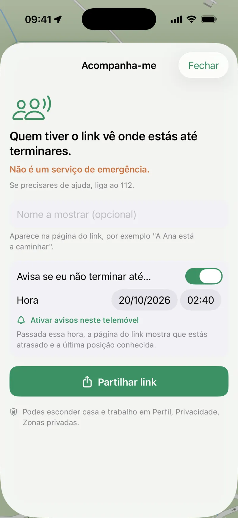
Whoever stays home sees where you are.
You share a link and whoever gets it opens it in a browser, with nothing to install, showing your live position. If the signal drops, the page says since when. It is not an emergency service: if you are in danger, call 112.
Continue05Come back with the story
Come back with the story.
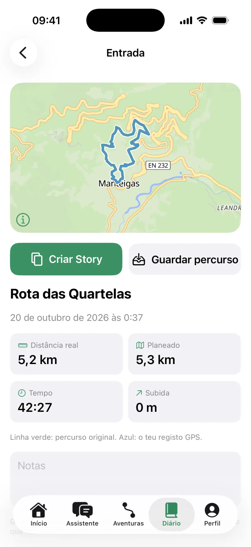
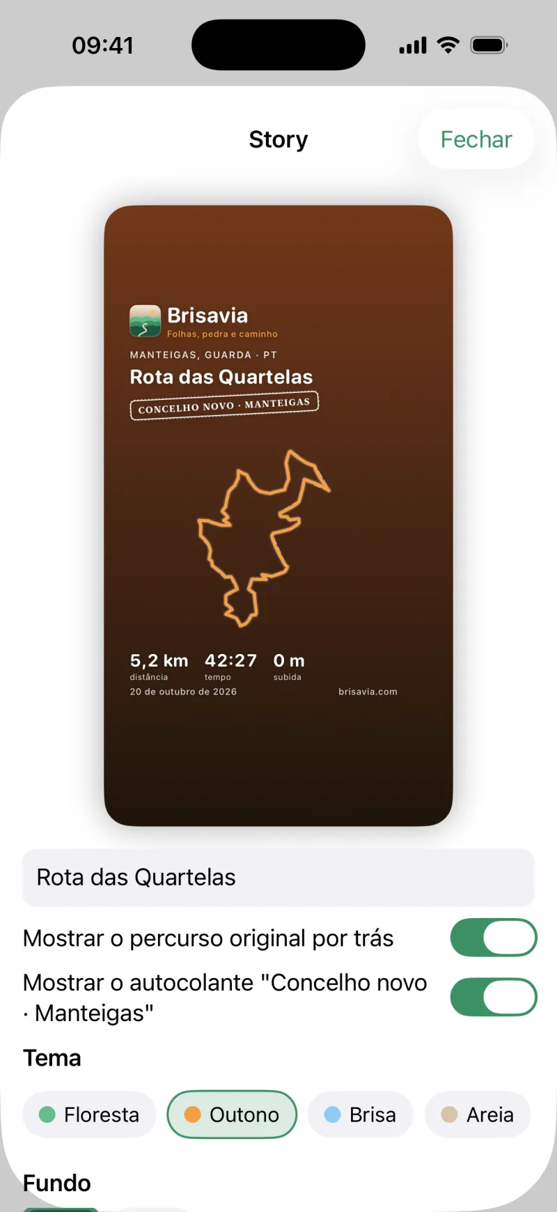
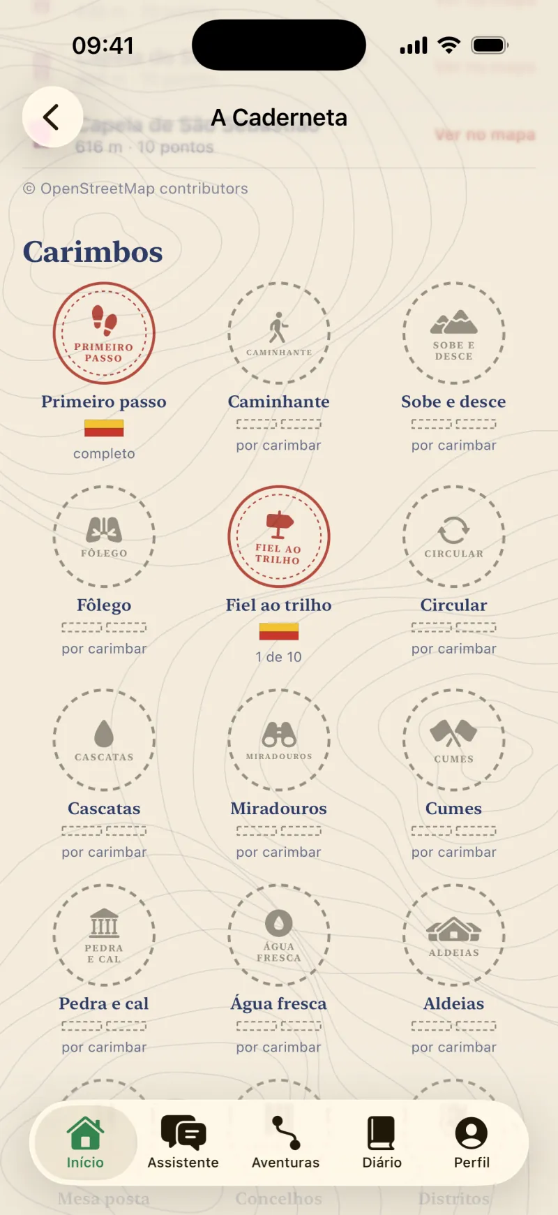
The diary compares what you planned with what you walked. Make a vertical Story to share, collect stamps in the Stamp Book and keep the discoveries of the day.
Climb to the summit06Portugal and Spain
Portugal and Spain, end to end.
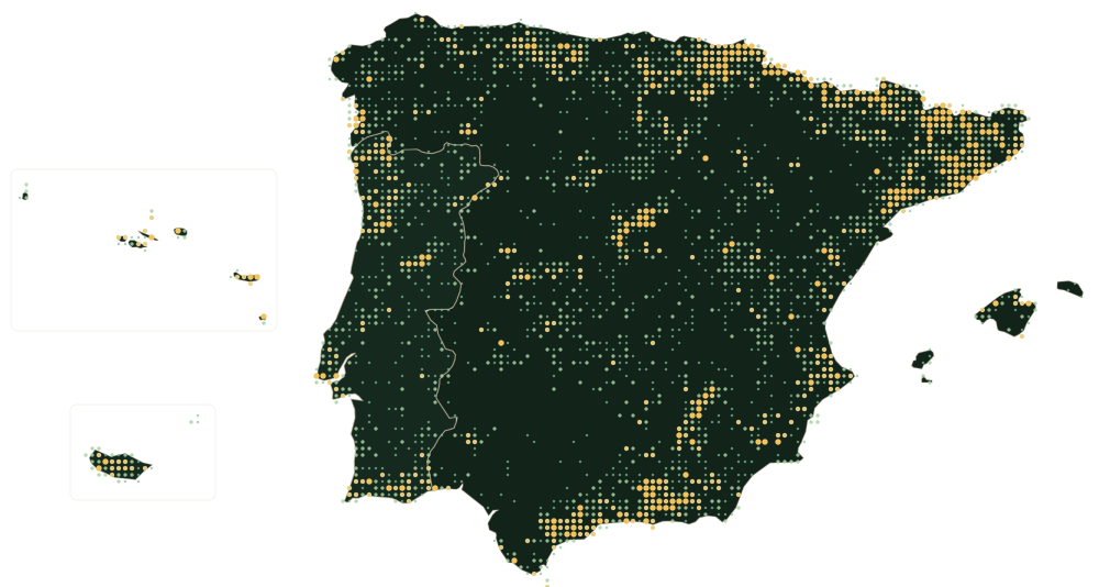
From the Gerês to the Picos de Europa, from the Arrábida to Madeira. Routes, water and places from OpenStreetMap's open data.
- 7,776
- trails in the catalogue
- 69,494
- water points
- 148,455
- places to visit
07Coming soon to iPhone
Your next trail starts here.
No account needed, in Portuguese, Spanish and English. The account is optional and only moves your data to another phone.
Brisavia is not an emergency service. If you are in danger, call 112.
Brisavia
Inside the app
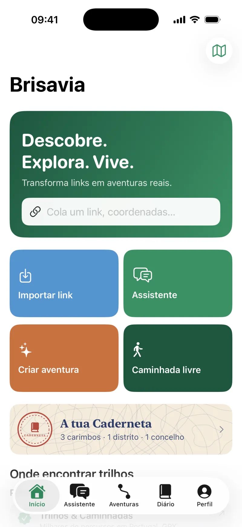
Real screenshots of Brisavia on iPhone.
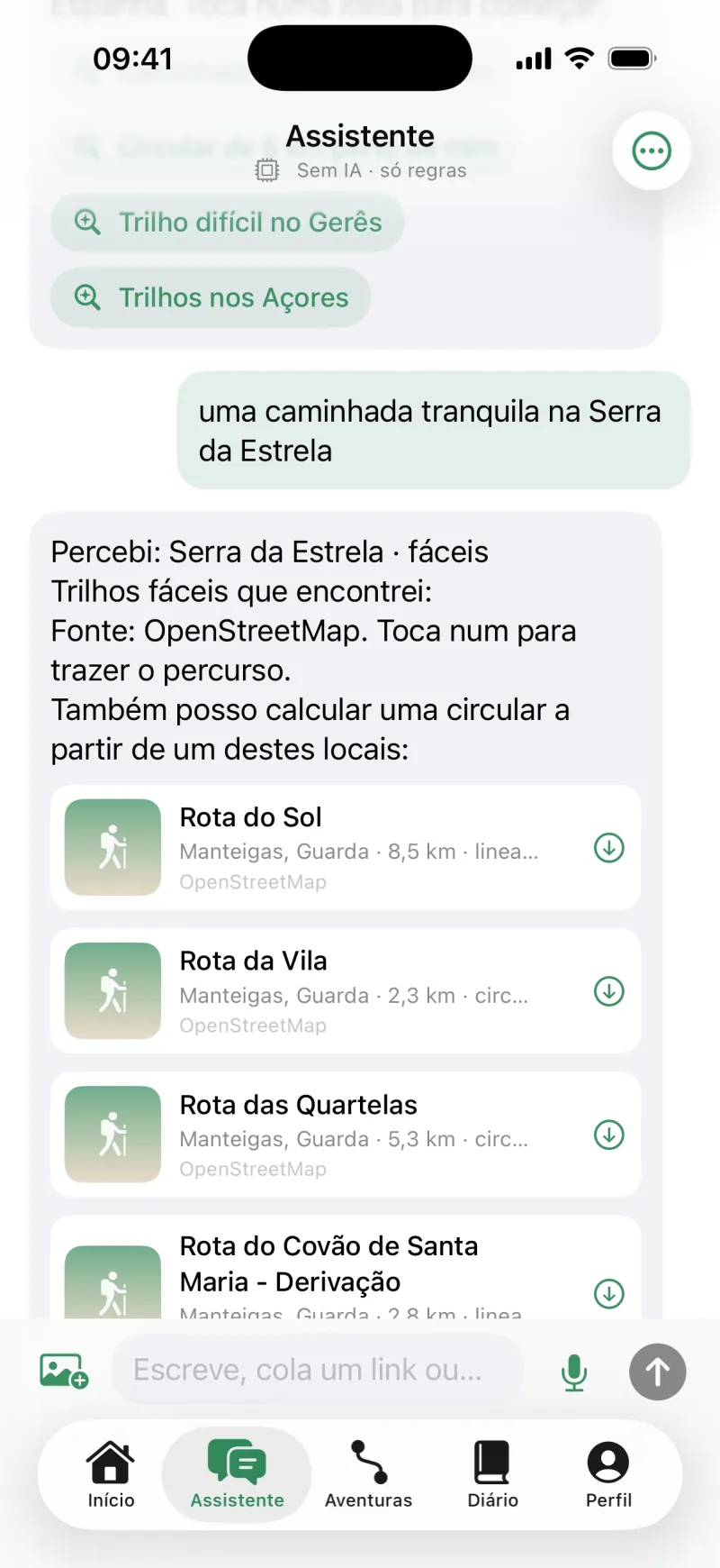
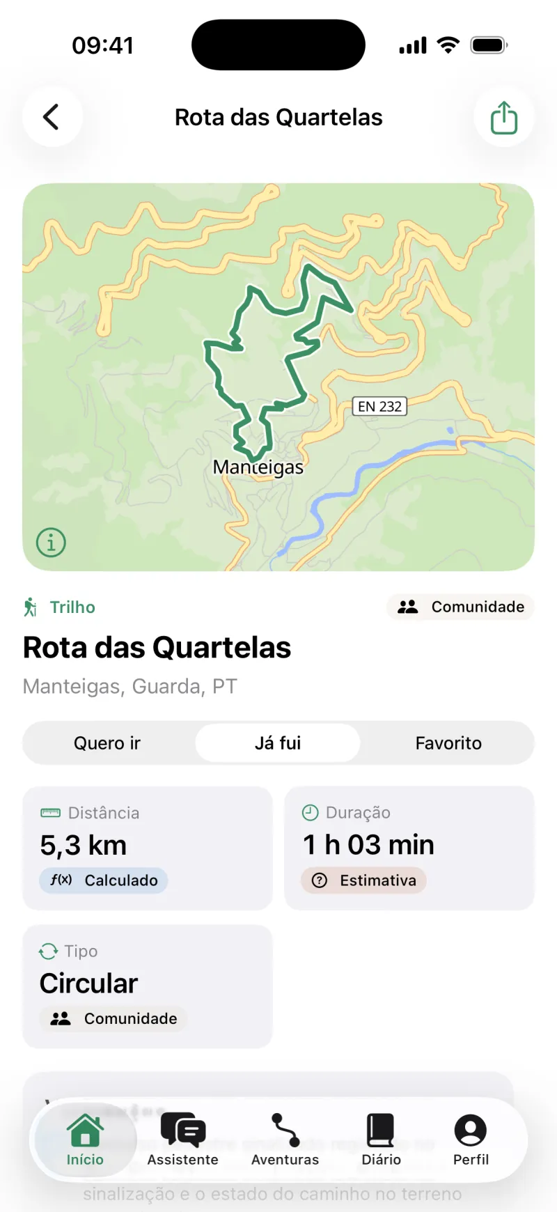
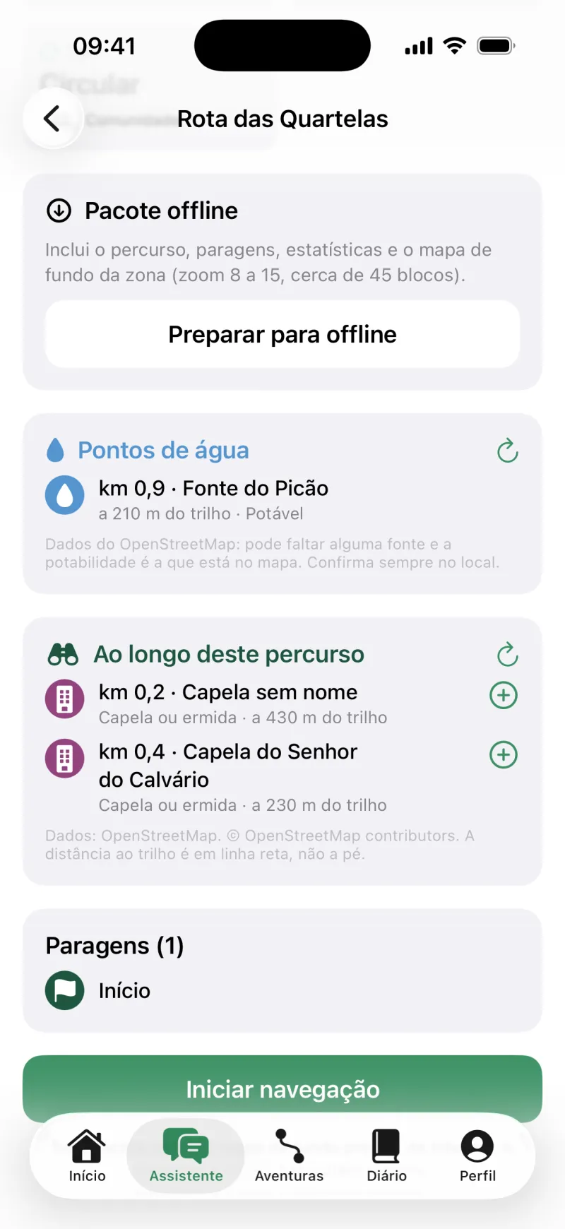
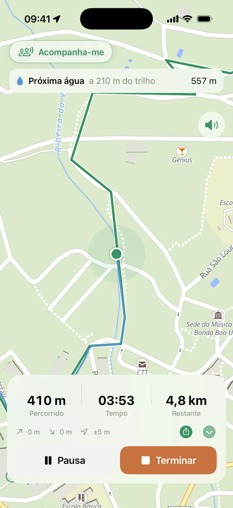
Portugal and Spain
Trails to start with
Real waymarked routes from Brisavia's catalogue, in Portugal and Spain, with the places and water the app shows along each one. Data from OpenStreetMap.
Every dot is the start of a route. Data: © OpenStreetMap contributors.
-
Terras de Bouro, Braga · Portugal
Trilho do Sobreiral da Ermida do Gerês
13.4 kmCircularEasy · T1
-
Manteigas, Guarda · Portugal
Rota do Sol
8.5 kmLinearEasy · T1
-
León · España
Collado Jermoso
4.9 kmLinearVery hard · T4
-
Terras de Bouro, Braga · Portugal
Trilho das Minas dos Carris
9.2 kmLinearHard · T3
-
Setúbal, Setúbal · Portugal
Encostas de São Filipe
4.0 kmCircularEasy · T1
-
Sintra, Lisboa · Portugal
Pena
3.8 kmCircularEasy · T1
-
Asturias · España
Vega de Urriellu
10.4 kmLinearModerate · T2
-
São Vicente, Madeira · Portugal
PR 1.3 - Vereda da Encumeada
10.0 kmLinearHard · T3
-
Huesca · España
Torla - Miradores d'o Molar
6.1 kmLinearModerate · T2
-
Madrid · España
Circuito Peñalara
5.9 kmLinearModerate · T2